Most people who get lost were not navigating badly. They were navigating fine right up until the thing they were navigating with stopped working.
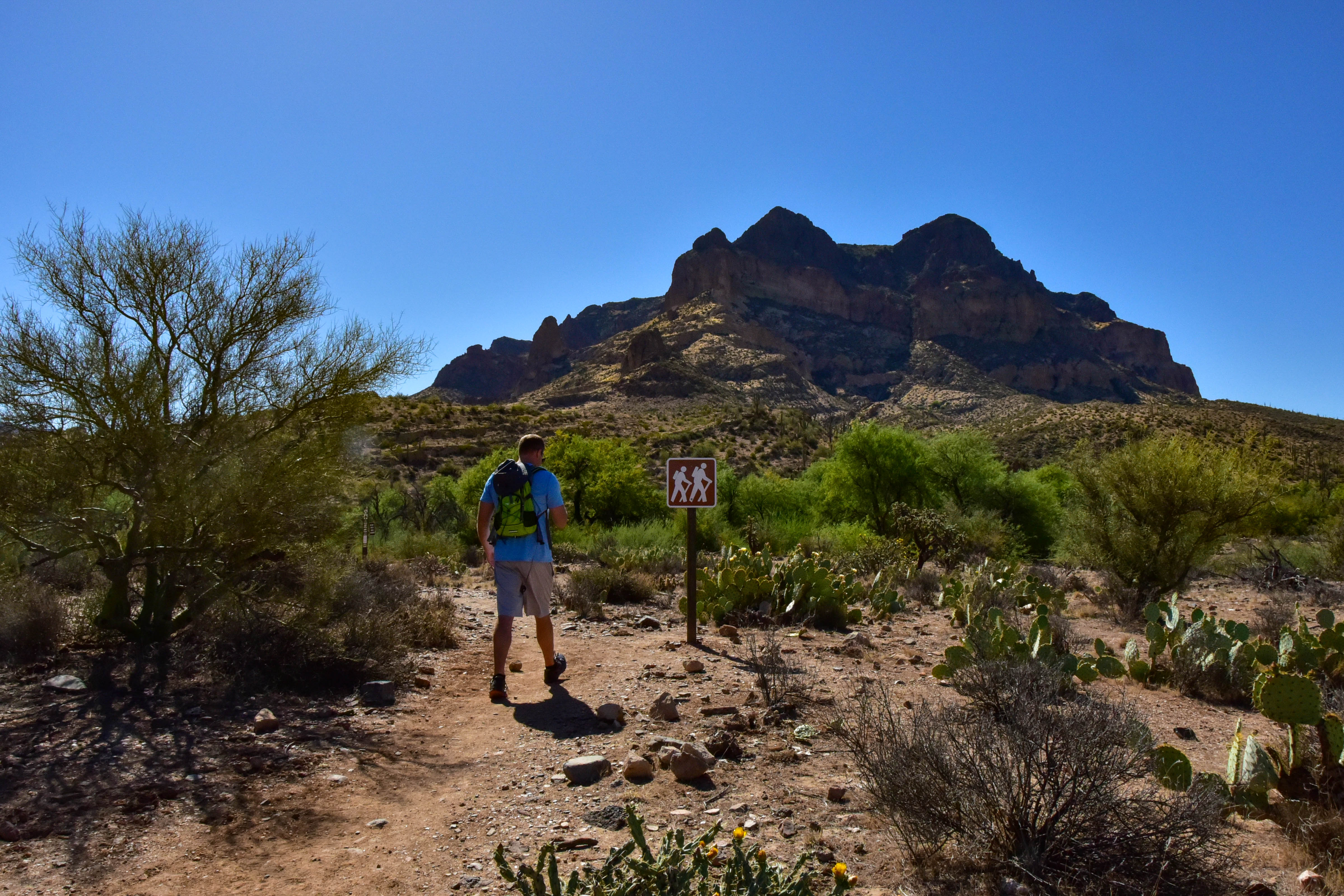
A hiker passing a trail sign on the Arizona National Scenic Trail. Photo via Pexels.
A phone is a genuinely excellent navigation tool. It is also a single point of failure that fails in predictable, avoidable ways — and the failures cluster in exactly the conditions where you need it most.
The four ways a phone stops navigating
Battery. Cold is the underrated one: lithium cells lose usable capacity sharply below freezing, and a phone that shows forty percent in a warm pocket can shut down within minutes of being held in bare hands at altitude in November.
No cached map. GPS works without signal — the receiver listens to satellites and needs no network at all. The map is the part that comes over the network. A phone with no service will happily show you a blue dot on a blank gray field, which tells you your coordinates and nothing else.
Breakage and water. A phone is glass, and it lives in a pocket you fall on.
And the one people never plan for: you used it. Photographs, checking messages on the one ridge with a bar of signal, keeping the screen lit to read the map. Navigation is rarely what drains the battery.
Download the map before you leave the driveway
This is the single highest-value habit in the list, it takes two minutes, and almost nobody does it.
Every serious mapping app supports downloading an area for offline use. Do it on home wi-fi, for an area considerably larger than you plan to cover — the point is to have coverage when you end up somewhere you did not plan to be, which is the definition of the situation you are preparing for.
Then test it properly: put the phone in airplane mode and open the app. If the map renders and your position appears, it works. If you see a gray field, the download did not include the zoom level or the area you assumed. Better to learn that at the kitchen table.
Making the battery last
Airplane mode is the big one. A phone with no signal burns power hunting for a tower continuously, which is why battery drains fastest in exactly the places you have none. Airplane mode stops the hunting; GPS still works.
Screen brightness down, and the screen off between checks. Navigate by looking at the map occasionally, not by watching yourself move across it.
Keep it warm. Inside a jacket against your body, not in an outer pocket or mounted on a pack strap in the wind. A cold phone is not dead — a phone that shut down from cold will often come back once warmed, which is worth knowing before you assume you have lost it.
Carry a battery bank and the correct cable. The cable is what people forget.
The backup that never runs out
A paper map of the area and a compass, and enough familiarity to take a bearing and follow it. That is the floor.
The skill matters as much as the object. A map and compass in a pack, owned by someone who has never used them, is ballast. Practicing in a park on a clear afternoon is enough to learn the basics, and it is a genuinely satisfying thing to be able to do.
For vehicle travel on public land, the paper document that matters is usually the Motor Vehicle Use Map, which is the authority on which routes are legally open — and which mapping apps frequently get wrong. We covered how to read one in reading an MVUM.
Knowing where you are versus knowing where to go
These are different problems and the second is harder.
A GPS coordinate tells you where you are. It does not tell you that the direct line to the road crosses a canyon, that the drainage you are following cliffs out, or that the track on the map washed away two winters ago. Terrain reading is what fills that gap, and it is the part a phone does least well on a five-inch screen.
The habit worth building is looking at the wider area before you set off — where the roads are, which way the drainages run, what the handrails and catch features are — so that you carry a rough mental model. If the phone dies, that model is what you navigate with.
If it goes wrong anyway
Coordinates are the single most valuable thing you can give a rescue team, which is why a satellite messenger or personal locator beacon is worth carrying where there is no cell coverage. It transmits a position when a phone cannot.
And the cheapest measure remains the best one: tell someone where you are going and when you will be back. A search that starts with a defined area finishes in hours. We set out how the system actually works in what happens when you call for a rescue, and what to carry when nobody else is with you in solo travel and communication.
This article was researched and drafted with the assistance of AI tools and reviewed, fact-checked and edited by Leonidas Clark before publication. Backcountry travel carries real risk; you are responsible for your own preparation and judgment.