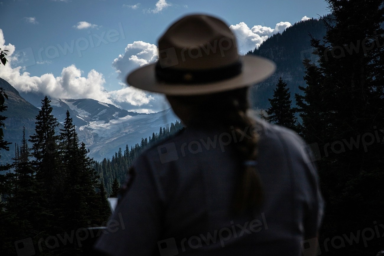
A park ranger looking out over forested mountains. Photo by the National Park Service (public domain, via Openverse).
Federal public land is not one system. Four agencies manage the bulk of it under different statutes, and the differences show up in what you are allowed to do.
U.S. Forest Service
Part of the Department of Agriculture, and the only one of the four outside Interior. Manages roughly 193 million acres of national forest and grassland under a mandate to manage resources for a variety of sustainable uses — timber, grazing, recreation, watershed, wildlife.
In practice the most permissive for dispersed camping, target shooting and motorized recreation, subject to unit-level rules.
Bureau of Land Management
Department of the Interior, and the largest federal land manager at about 245 million acres, concentrated in the West. Its dual mandate comes from the Federal Land Policy and Management Act of 1976: multiple use — grazing, energy, hardrock mining, timber, recreation — alongside conservation of natural, historical and cultural resources.
Similar in permissiveness to the Forest Service, with heavy grazing and minerals use and, in places, very light on-the-ground presence.
National Park Service
Interior, roughly 80 million acres. Managed to preserve resources unimpaired while providing for public enjoyment — a tension the Park Service itself calls its dueling mandate — and consequently the most restrictive of the four.
Camping is generally restricted to designated sites. Hunting is prohibited in most units. Collecting anything — rocks, antlers, plants — is generally prohibited. Firearms possession follows state law, but discharge is prohibited except where hunting is specifically authorized.
U.S. Fish and Wildlife Service
Interior, around 150 million acres in the National Wildlife Refuge System. The governing standard is compatibility with the purpose the refuge was established for; more than 500 refuges nonetheless offer recreation, including hunting and fishing.
Hunting and fishing are permitted on many refuges but under refuge-specific regulations layered on top of state rules, and often with additional restrictions on ammunition, dates and areas.
State and other
State forests, state wildlife management areas, state parks and state trust land each have their own rules, and state trust land in particular is frequently not open for general recreation without a permit despite looking like any other open country.
Why this matters before a trip
The same activity can be legal, permitted or prohibited within a few miles depending on whose land it is. Boundaries are often unmarked.
The practical step is identifying the managing agency and unit before you go, and reading that unit’s rules rather than a general summary.
How to find out whose land you are actually on
Boundaries between agencies are rarely marked, and the transition from one management regime to another can happen mid-track with nothing on the ground to indicate it. The reliable answer comes from a map, not from the look of the country.
Each agency publishes its own. The Forest Service issues Motor Vehicle Use Maps that show which routes are open to which vehicles, covered in our piece on reading an MVUM. The BLM publishes surface management status maps that show ownership by color. Refuges and park units publish unit-specific maps and rules. Land-ownership layers in mapping apps are useful for orientation but are a convenience, not an authority — when the answer matters, the agency’s own map is the one to trust.
Checkerboard country
Across much of the interior West, federal and private sections alternate in a grid, a legacy of nineteenth-century railroad land grants. The practical effect is that a single square mile of apparently open country can be public, and the square mile touching it at the corner private, with no fence or sign anywhere. Access that looks obvious on the ground may not exist in law.
This is the single most common way a careful person ends up trespassing without intending to, and it is why the map matters more in the West than the terrain does.
What actually changes between agencies
Dispersed camping is generally available on Forest Service and BLM land subject to unit rules, restricted to designated sites in most park units, and rarely available on refuges. Target shooting is broadly permitted on Forest Service and BLM land where not specifically closed, and prohibited in most park units and refuges. Hunting is widely available on Forest Service, BLM and many refuge lands, and prohibited in most park units. Collecting rocks, antlers or plants ranges from permitted with limits to flatly prohibited.
None of those are universal. Every one of them is set at unit level, which is why the agency answers only half the question and the unit answers the other half.
Sources
- US Department of the Interior, America’s Public Lands Explained — agency acreages and mandates
- Bureau of Land Management, What We Manage — FLPMA multiple-use mandate
- National Park Service, The Dueling Mandate
- National Park Service, Firearms in National Parks
This article was researched and drafted with the assistance of AI tools and reviewed, fact-checked and edited by Leonidas Clark before publication. Rules vary by agency and unit; check the managing office before you go.