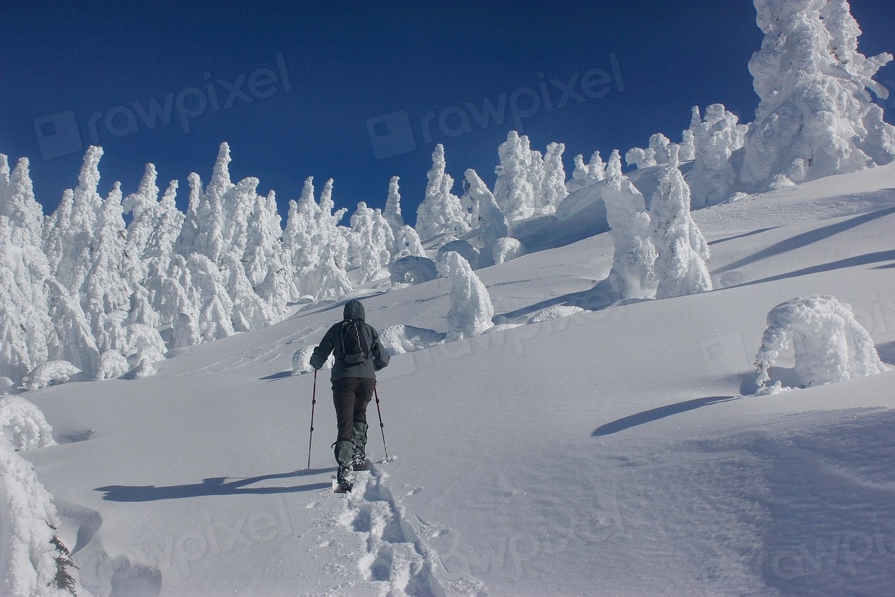
A snowshoer climbing toward a summit in winter. Photo by the U.S. Forest Service (public domain, via Openverse).
The same trailhead in February is a different place, legally and practically, from what it is in July.
Seasonal closures
Many roads on national forest and BLM land close for the winter, and the closure is usually about protecting the road surface during freeze-thaw as much as about snow depth.
Separately, wildlife closures protect big game on winter range. BLM’s Kemmerer and Pinedale field offices close winter range to all motorized travel from 1 January to 30 April to protect elk, moose, pronghorn and mule deer; the Bridger-Teton begins its winter wildlife restrictions on 1 December. Agencies are explicit about the mechanism: animals forced to flee burn energy they cannot spare against cold, deep snow and thin forage. Those closures cover areas that look empty.
Gate schedules are published by the managing unit, and a road being physically passable does not mean it is legally open.
Over-snow vehicle designation
Where snowmobiles may travel is designated separately from summer motor vehicle routes, under 36 CFR 212 Subpart C, which governs designation of roads, trails and areas for over-snow vehicle use. Some areas open to wheeled vehicles in summer are closed to over-snow use, and some closed areas open once snow depth protects the ground.
That inversion means the summer map tells you nothing useful in winter.
Avalanche terrain
Avalanche risk is a terrain-and-conditions problem, and the tools for managing it — forecast, training, partner rescue gear — are not optional in avalanche country.
Regional avalanche centers — many of them Forest Service programs — publish daily forecasts free, each covering defined mountain ranges. Reading one before traveling in the mountains in winter is the baseline, and no article substitutes for formal avalanche training.
Nobody is coming quickly
Winter response times are longer for reasons that do not improve: shorter days, closed access roads, and rescuers who face the same conditions you do.
That extends the margin you need to carry — in daylight, in food, in insulation, in turnaround time. Cold is covered in more detail in our piece on how hypothermia progresses.
Why the maps are separate
Over-snow travel is designated under its own subpart, and the reason is that snow changes what the ground can tolerate. Adequate snow depth protects soil and vegetation from a machine that would damage them bare, so some areas closed to wheeled vehicles open to over-snow use, and some summer routes close.
The consequence is practical: the summer MVUM tells you nothing useful in winter, and units publish an over-snow map separately.
Reading a winter closure order
Wildlife closures carry dates rather than conditions, and they start before most people think winter has begun — the Bridger-Teton begins on 1 December and BLM winter range closures in Wyoming run from January through April. Areas can look empty and still be closed, because the animals using them move at dawn and dusk.
Road closures work the other way: a gate may be locked for freeze-thaw protection while the surface looks entirely drivable.
The margin that changes
Shorter days, closed access roads and rescuers facing the same conditions all lengthen response time in winter. That is not a reason to stay home; it is a reason to carry more daylight, more insulation and more turnaround margin than the same trip would need in August.
Sources
- Inyo National Forest, Over-Snow Vehicle Use Designation — 36 CFR 212 Subpart C
- Bureau of Land Management, Kemmerer and Pinedale Field Offices announce big game winter range closures
- Bridger-Teton National Forest, Winter wildlife restrictions begin Dec. 1
- Sawtooth National Forest, Forest Service avalanche information
This article was researched and drafted with the assistance of AI tools and reviewed, fact-checked and edited by Leonidas Clark before publication. Rules vary by agency and unit; check the managing office before you go.